Service 04
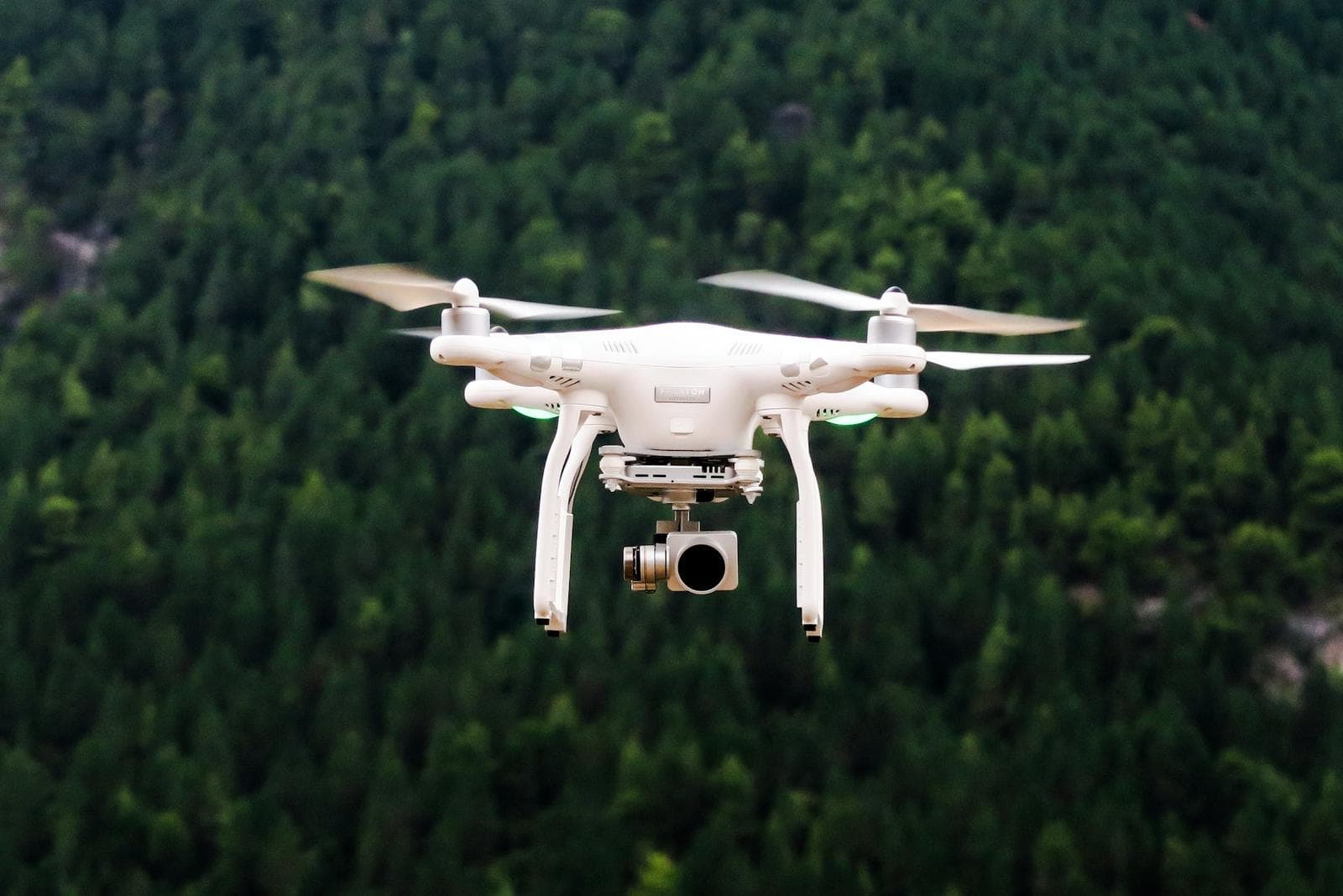
Drone Surveying & Aerial Mapping
Aerial mapping, orthophotos and progress documentation for large sites — captured quickly and safely.
Overview
Drones let us document large areas in hours instead of days. High-resolution aerial imagery is processed into accurate maps, models and visual records of your site.
Aerial surveying & mapping
Flying planned grid missions with ground control, we capture overlapping images that are processed into orthomosaics, elevation models and 3D views — ideal for large-area documentation and construction monitoring.
What we cover
Scope of service.
01
Aerial Surveying
Planned flight missions with ground control points.
02
Site Mapping
Geo-referenced orthomosaic maps of the full site.
03
Large-Area Documentation
Societies, farms and infrastructure in one flight plan.
04
Construction Progress
Repeat flights to track work over time.
05
Aerial Photography
High-resolution stills for presentation and records.
06
Digital Mapping
Elevation models and CAD-ready base maps.
Our process
How the work is done.
STEP 1
Flight Planning
Area, altitude and overlap defined.
STEP 2
Ground Control
Targets surveyed with GNSS for accuracy.
STEP 3
Flight & Capture
Automated mission captures imagery.
STEP 4
Photogrammetry
Images processed into maps and models.
STEP 5
Delivery
Maps, models and imagery handed over.
Equipment used
- 01Survey drones
- 02GNSS ground control
- 03Photogrammetry software
- 04GIS / CAD
Applications
- 01Housing society planning
- 02Construction monitoring
- 03Stockpile volumes
- 04Land documentation
Deliverables
- 01Orthomosaic map
- 02Digital elevation model
- 03Contours from aerial data
- 04Aerial photo set
Why choose us
Why clients trust us with drone surveying.
25+ years in the field
Led personally by Bader Munir Hashmi, with practical experience no software can replace.
1,000+ projects delivered
Residential, commercial, infrastructure and government work all across Pakistan.
Modern equipment
Total Station, GPS / GNSS, drones and digital CAD workflows on every job.
One accountable team
Surveying, design, planning and construction support under one roof.
Start a project
Need drone surveying?
Talk directly with Bader Munir Hashmi. 25+ years of surveying, planning and design experience on projects all across Pakistan.