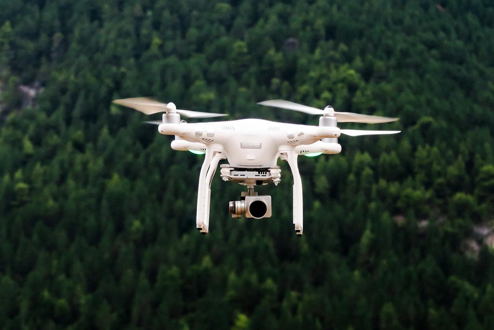
Equipment & Technology
The instruments behind the accuracy.
Modern surveying equipment is one of our core strengths — and it is operated by people who have spent 25+ years in the field.
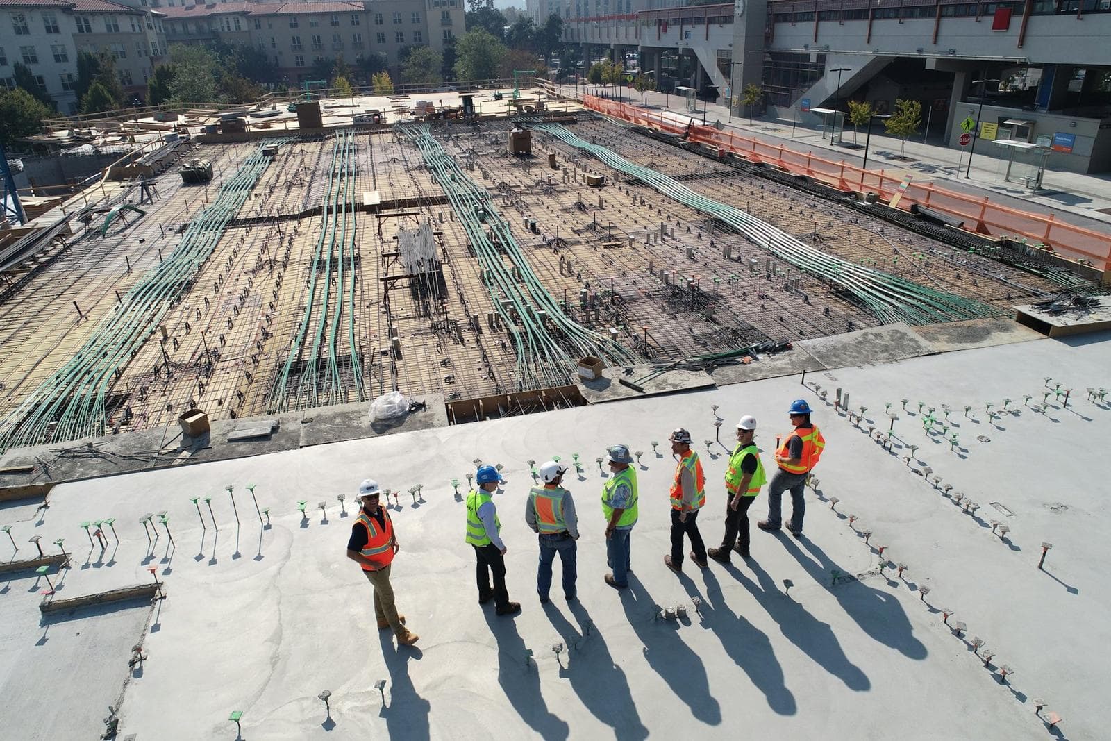
HZ 127°14′32″ · V 89°58′10″ · SD 248.316 m
01 — Angles · Distances · Coordinates
Total Station
Professional surveying equipment used for accurate angle, distance and coordinate measurements. The backbone of boundary surveys, setting-out and building measurement.
- Electronic angle & distance measurement
- Coordinate computation in the field
- Setting-out for construction
- Detail and boundary surveys
N 33°41′04.21″ · E 73°02′52.88″ · FIX
02 — Satellite positioning
GPS / GNSS
Satellite-based positioning and professional land surveying. Multi-constellation receivers deliver reliable coordinates across large and remote sites.
- RTK real-time positioning
- Static control surveys
- Large-area coordinate networks
- Grid system transformations
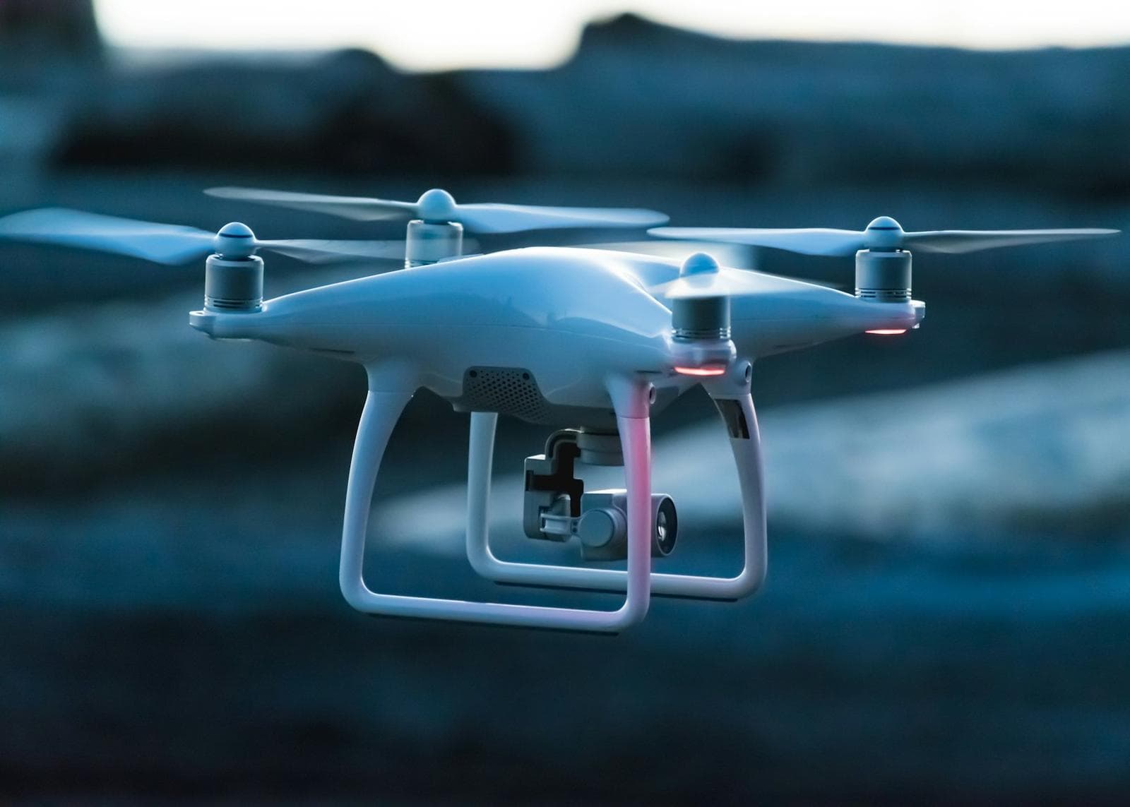
ALT 120 m · OVERLAP 75 / 65 · GSD 3.2 cm
03 — Aerial data collection
Drone Surveying
Aerial data collection, site mapping and documentation. Planned flight missions cover large areas quickly while keeping teams safe.
- Orthomosaic mapping
- Elevation models
- Construction progress records
- Aerial photography
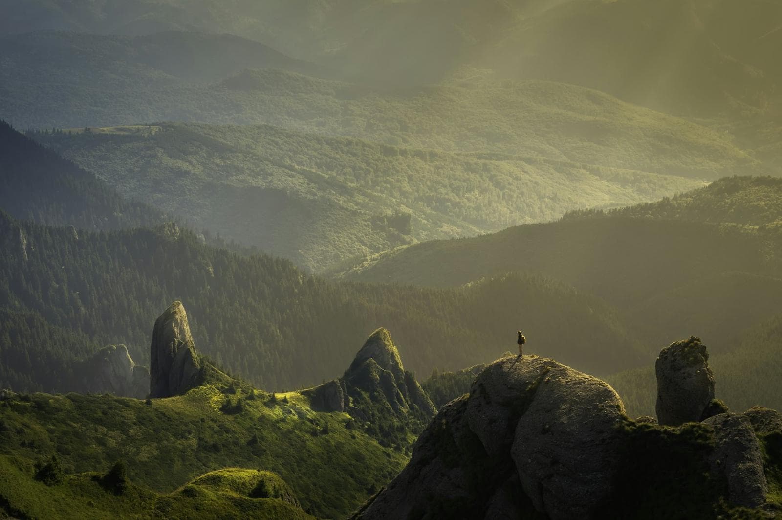
CONTOUR INT 0.5 m · PTS 18,442
04 — Field to map
Digital Mapping
Converting field measurements into digital maps and plans. Survey data is processed, checked and modelled into accurate, layered mapping.
- Terrain & contour models
- Feature mapping
- GIS-ready outputs
- Area & volume calculations
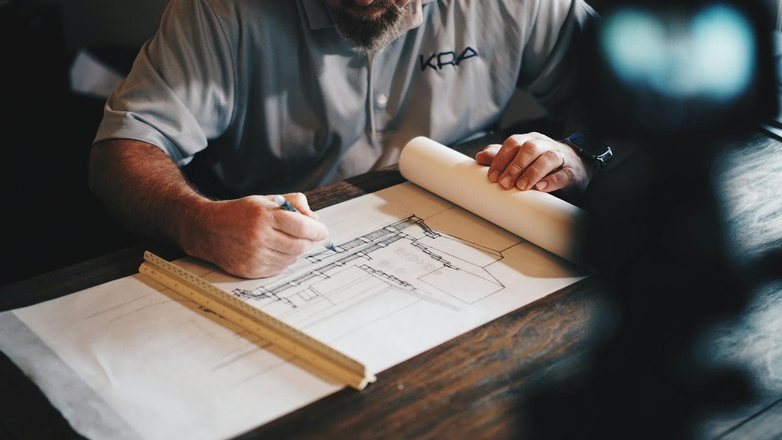
SCALE 1:100 · LAYERS 42 · REV C
05 — Drawing & design
CAD / Design Technology
Professional technical drawing and design workflows — from survey plans to construction drawings and 3D visualization.
- AutoCAD drafting
- As-built documentation
- 3D visualization
- Print-ready drawing sets
Precision through technology
Modern equipment combined with 25+ years of practical field experience.
Start a project
Put our equipment to work on your site.
Talk directly with Bader Munir Hashmi. 25+ years of surveying, planning and design experience on projects all across Pakistan.