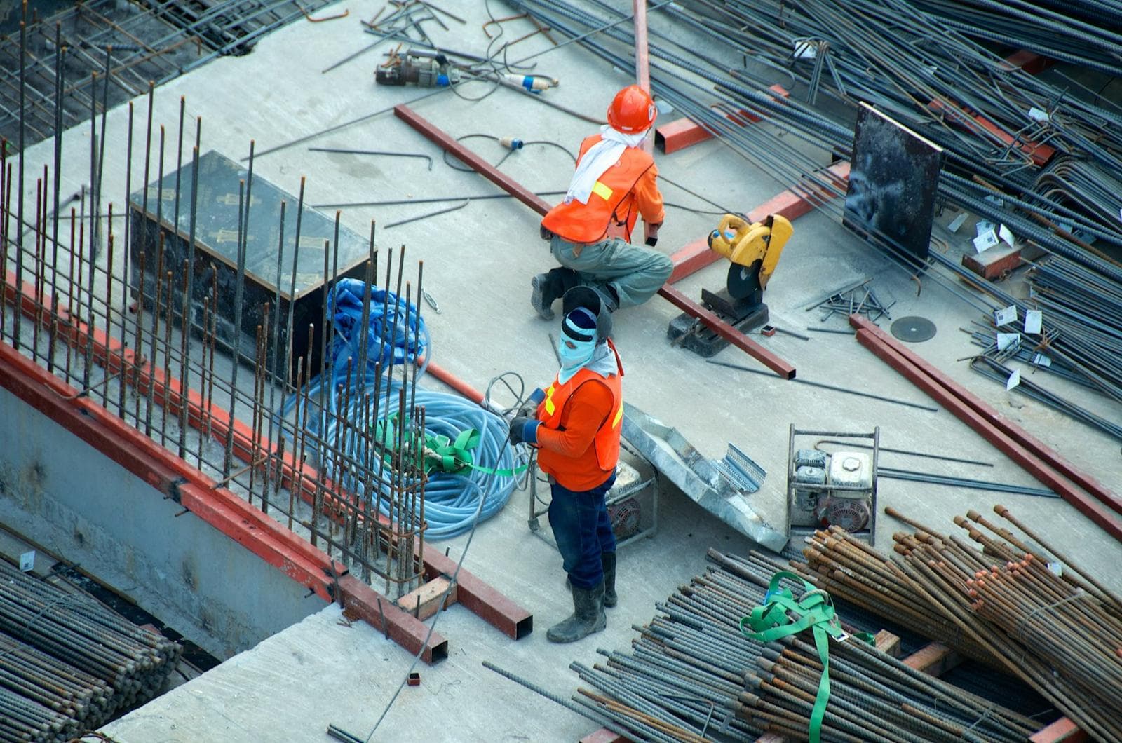
Surveying · Planning · Design · Consulting
Measured with precision. Built on experience.
Universal Surveyor & Consulting delivers land surveying, mapping, technical drawings and planning to developers, homeowners and government clients all across Pakistan.
- 0+
- Years of Experience
- 0+
- Projects Completed
- 0+
- Major Projects
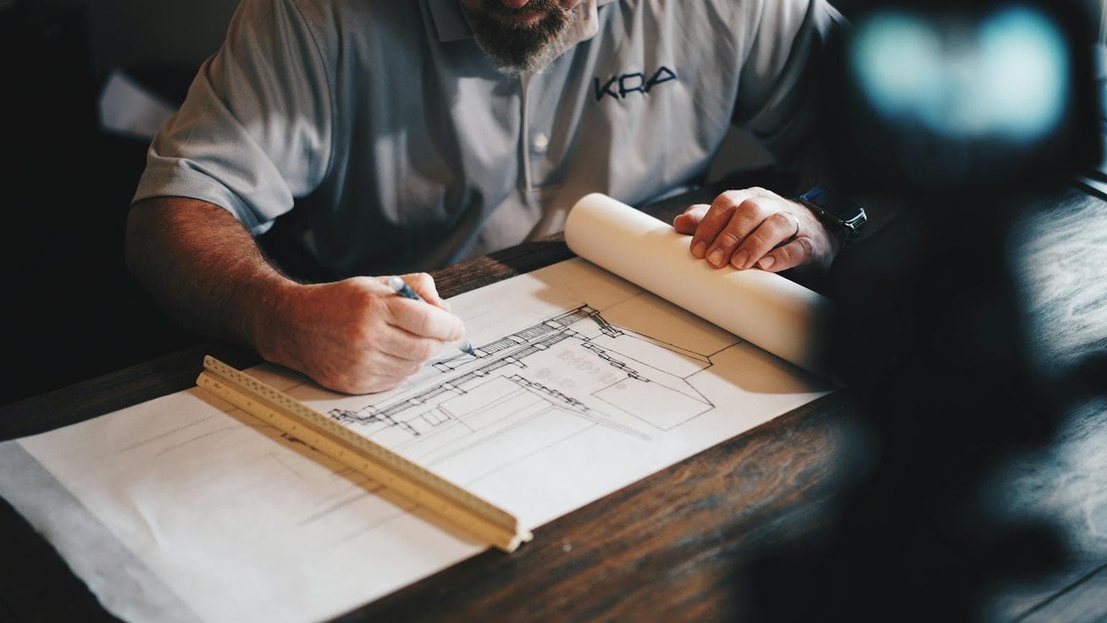
Led by
Bader Munir Hashmi
About the company
A quarter-century of getting the ground right.
For more than 25 years, Universal Surveyor & Consulting has measured land, mapped terrain and drawn the plans that developments are built on. From a single house plot to housing societies, dam projects and government buildings, our work begins with accurate field data and ends with documents clients can trust.
Our story →Services
Twelve disciplines. One team.
Surveying, design, planning and construction support — delivered by the same people, so nothing is lost between field and drawing board.
 01
Land Surveying
Boundary, demarcation and plot surveys with coordinate-accurate field measurement and certified drawings.
Learn More → 02
Topographical Survey
Detailed terrain mapping — elevations, contours, ground levels and existing features for design and planning.
Learn More → 03
GPS / GNSS Surveying
Satellite-based positioning for accurate land coordinates, control networks and large-area mapping.
Learn More → 04
Drone Surveying
Aerial mapping, orthophotos and progress documentation for large sites — captured quickly and safely.
Learn More → 05
As-Built Drawings
Accurate documentation of existing buildings — plans, elevations and sections exactly as constructed.
Learn More →06AutoCAD Drawings
Precise technical drawings — floor plans, site plans, elevations, sections and construction sets.
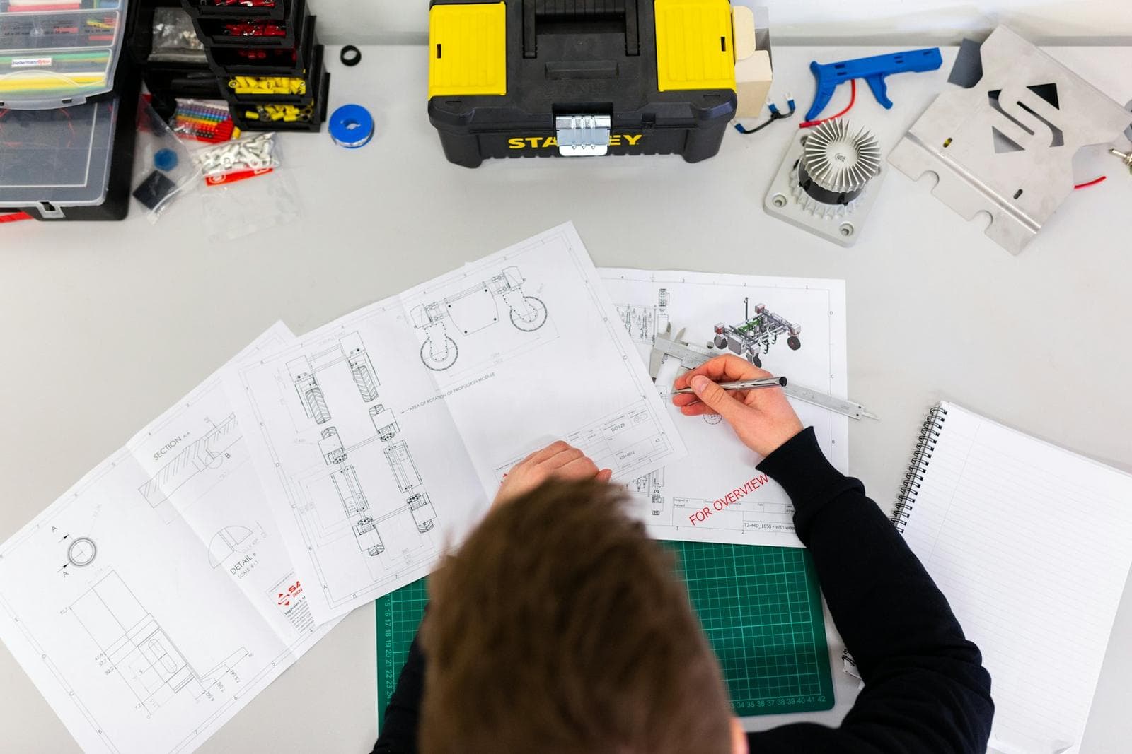
Learn More →Equipment & technology
Modern instruments. Field-proven hands.
Total Station, GNSS and drone surveying combined with digital CAD workflows.
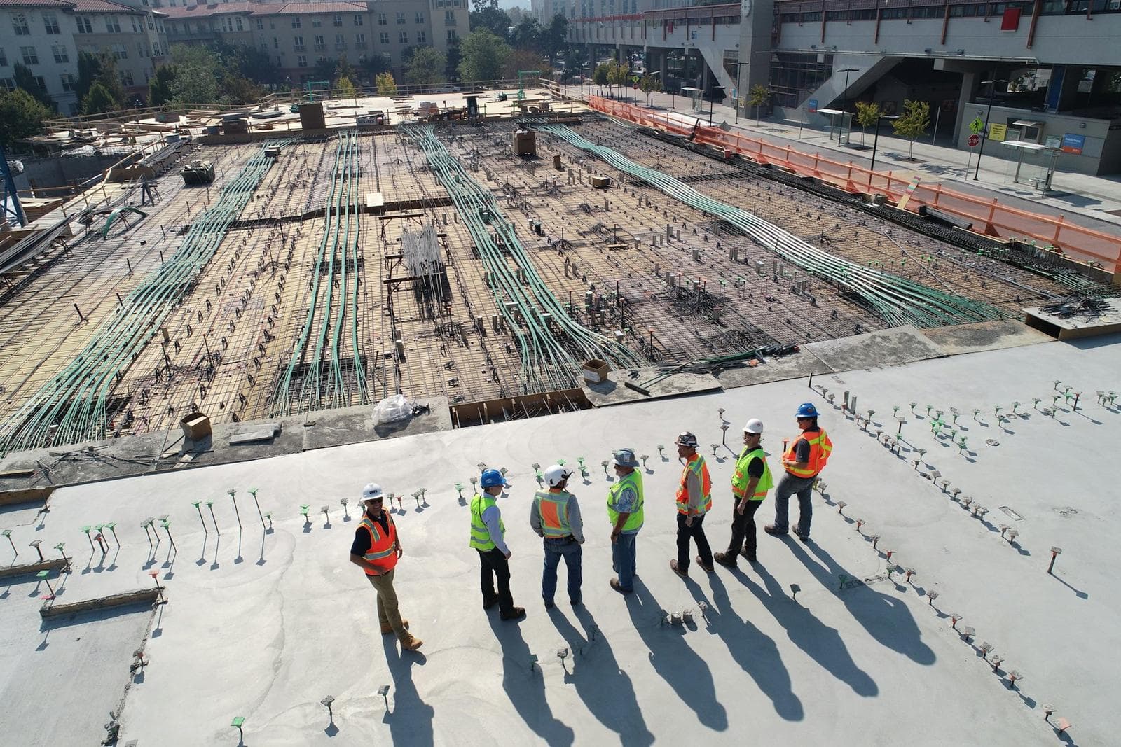

Featured projects
Work that stands on solid ground.
A selection from 1,000+ completed projects across Pakistan — housing societies, infrastructure and government buildings.
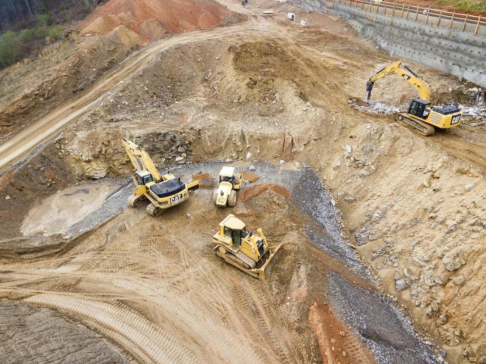
Land Planning • Surveying • Designing
Shaheen TownPhase 1 & Phase 2
Pakistan View project →

Land Measurement • Surveying
DHA Phase 5
Pakistan View project →
Planning • Designing • Surveying
Mangla Dam
Mirpur, Azad Kashmir View project →
Why choose us
Experience you can measure.
01
25+ years in the field
Led personally by Bader Munir Hashmi, with practical experience no software can replace.
02
1,000+ projects delivered
Residential, commercial, infrastructure and government work all across Pakistan.
03
Modern equipment
Total Station, GPS / GNSS, drones and digital CAD workflows on every job.
04
One accountable team
Surveying, design, planning and construction support under one roof.
Start a project
Have a site that needs measuring?
Talk directly with Bader Munir Hashmi. 25+ years of surveying, planning and design experience on projects all across Pakistan.